In parts of California’s iconic mountainous coasts, breathtaking beauty is punctuated by brusque signs warning spectators to stay back from unstable cliffs. The dangers of coastal erosion are an all-too-familiar reality for the modern residents of these communities. Now, with a new tool, researchers are bringing historical perspective to the hotly debated topic of how to manage these disappearing coastlines.
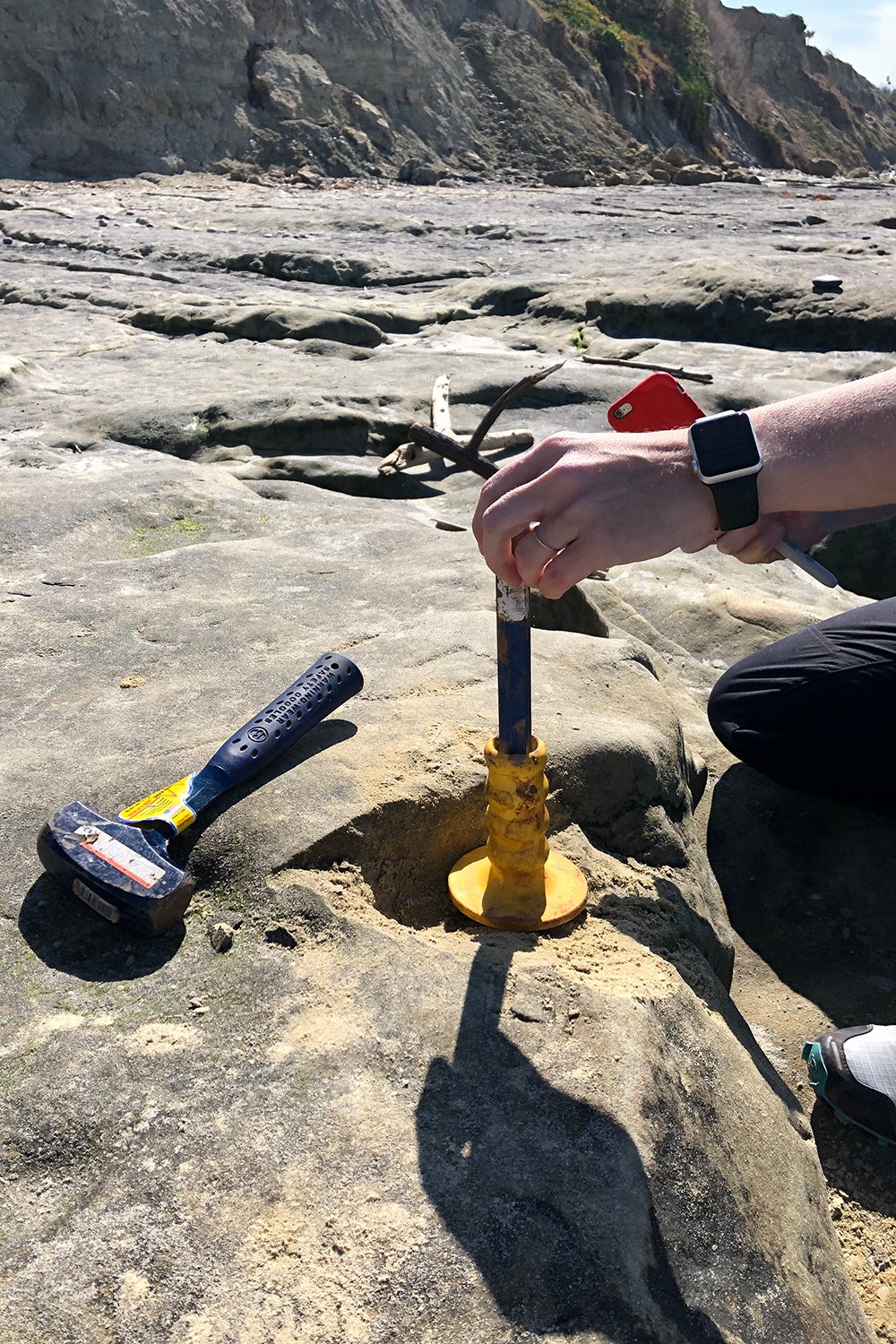
Jane Willenbring sampling shore platform bedrock in Del Mar with a hammer and chisel. (Image credit: Travis Clow)
Using a model that incorporates measurements of the amount of time coastal cliffs and their remnant deposits were exposed at the Earth’s surface, Stanford researchers found that the rate of cliff erosion in the past 100 years is similar to that of the past 2,000 years. The proof-of-concept, published in the Journal of Geophysical Research: Earth Surface April 17, opens the possibility of using this new approach to understand the long-term history of coastal cliff erosion, or retreat, in other parts of the state. The work was conducted in Del Mar, California, a beach town in San Diego County with infrastructure atop its coastal bluffs.
“In this particular location, these cliff erosion rates have been the same for thousands of years, so we shouldn’t expect them to get lower,” said senior study author Jane Willenbring, an associate professor of Earth and planetary sciences at the Stanford Doerr School of Sustainability. “If anything, we should expect them to be higher in the future.”
Del Mar is among locations that are critically important for understanding cliff retreat. Homes are situated up to 70 feet above its beach, in addition to public infrastructure. A major railroad between Los Angeles and San Diego runs atop the coastal bluffs, where cliff failures have resulted in several derailments in modern history, as well as rock fall events that led to closures in recent years.
“I think this study bolsters the thinking that we should do something about cliff retreat sooner rather than later,” said lead study author Travis Clow, PhD ’22.
A natural laboratory
The study area was ideal for the researchers’ methodology because the Del Mar beach features a narrow shore platform, the bedrock where tidepools are typically found. Using nine samples of bedrock, the co-authors measured concentrations of the chemical isotope beryllium-10 that track landform exposure to cosmic radiation from space. The data were compared with cliff retreat rates from recent studies based on aerial photography, showing that coastal erosion rates have remained relatively constant over the past two millennia – at about 2 to 5 inches per year.
“In this particular location, these cliff erosion rates have been the same for thousands of years, so we shouldn’t expect them to get lower. If anything, we should expect them to be higher in the future.”
—Jane Willenbring, senior study author
Associate Professor of Earth and Planetary Sciences
“One of the advantages of this technique is that it gives you information at the time scales that are relevant for factors like sea-level rise,” Willenbring said. “Our tool estimates retreat over time periods that include multiple major storms or atmospheric rivers that don’t happen very often, but are critical in forming the coastline.”
The researchers’ approach explores the influence of different factors, including wave impacts and weathering that occur at the shore platform and the cliff interface.
“It does more than just spit out a retreat rate,” said Clow, who processed the samples in Willenbring’s lab and measured them at the Center for Accelerator Mass Spectrometry at Lawrence Livermore National Laboratory (LLNL). “It also allows us to have a relative assessment of what might be driving cliff retreat over longer periods of time.”
When rock becomes air
On sandy coasts, like those spanning much of the eastern U.S., beaches are shaped by waves that pull sand out to the ocean, then re-deposit it on land with the coming and going of the tides. But with rocky coastlines like those along California, once a cliff erodes into the ocean, it cannot be replaced, Willenbring said. Instead, it’s as if the rock becomes air.
Willenbring was surprised to learn through this research that over half of all coastlines on Earth are eroding like California’s. The scope of the problem, which will be exacerbated by sea-level rise in the next century, presents an opportunity for using this new technique in other areas.
“There are plenty of other places in California and the Pacific Northwest where active erosion of coastal rocky cliffs is happening, and we hope to use this technique in a wide variety of environments,” Clow said.
Knowledge of cliff retreat in the U.S. is about 50 years behind research on the impacts of erosion and storms on sandy beaches, according to Willenbring – and that makes her excited about contributing to fundamental science in this field.
“No one had even looked at how the beach width correlated with the rate of cliff retreat in California,” Willenbring said. “There are a lot of open questions about what drives coastal erosion, and now we have a new tool to be able to address some of them.”
Additional study co-authors are from the Scripps Institution of Oceanography at the University of California, San Diego; the Center for Accelerator Mass Spectrometry at LLNL; and Imperial College London. The research was supported by LLNL, the California Department of Parks and Recreation, and the U.S. Army Corps of Engineers.
Media Contacts
Danielle Torrent Tucker, Doerr School of Sustainability: (650) 497-9541; dttucker@stanford.edu
Jane Willenbring, Doerr School of Sustainability: (650) 721-2131; willenbring@stanford.edu
Author
Danielle Torrent Tucker