

Many reasons have been advanced to explain why Britain voted to leave the European Union, but the fundamental reason has been overlooked, according to Ian Morris, a historian and archaeologist at Stanford’s School of Humanities and Sciences.

Ian Morris (Image credit: Do Pham)
That reason is geography.
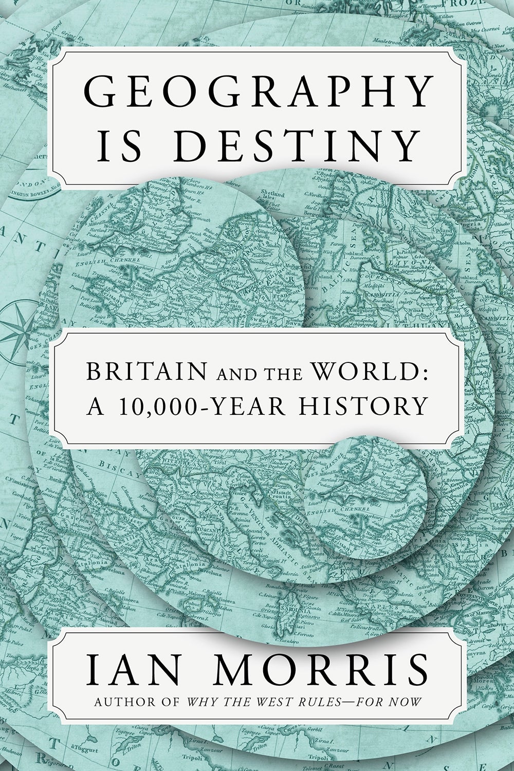
More precisely, what Britain’s geography means for residents of the island nation – officially known as the United Kingdom of Great Britain and Northern Ireland – is the key to understanding why, in 2016, they made the decision they did, and what that choice augurs for their future, Morris writes in his new book, Geography Is Destiny (Farrar, Straus, and Giroux, 2022).
“Brexit was just the latest round in an ancient argument about what Britain’s geography means,” he asserts. How that meaning has changed is what the book is about.
Morris, who holds the Jean and Rebecca Willard Endowed Professorship in Classics, argues that the meaning of a region’s geography depends on two things: technology, especially the kinds connected with travel and communication, and organization, particularly the kinds that allow technology to be effectively deployed. His new book is divided into three parts, each represented by a map depicting how these forces have shaped Britain’s relationship with Europe and the world.
The multimillennial view of Brexit
“It is only on a multi-millennium timescale that the forces driving Britain’s relationships with Europe and the wider world make themselves clear,” Morris writes. “Only when we put the facts into this framework do we see why Brexit seems so compelling to some, so appalling to others and where it might lead next.”
For 99% of the past 200 million years, the British Isles weren’t isles at all. Rather, they were part of the European continent because land now beneath the English Channel, North Sea, and Irish Sea wasn’t submerged. At least 850,000 years ago, protohumans began living in parts of Britain when the climate was warm enough. About 12,000 years ago, the first ancestors of modern Britons arrived.
Part I of Geography Is Destiny, “The Hereford Map,” covers 6000 B.C., when, not for the first time, water from melting glaciers had separated the Isles from the mainland, to 1497, when the explorer John Cabot sailed from Bristol, England, to Newfoundland, giving Britons a sense that their place in the world was not just “a cluster of islands at the Continent’s furthest edge.” Up till that time, most new kinds of organization and technology had been invented in the Middle East and the Mediterranean and then spread west, arriving in the Isles last.
Richard of Haldingham and Lafford, who produced the Hereford Map around 1300, depicts Jerusalem at the center of the world and the British Isles as “blobs squeezed in at the bottom left,” Morris notes. Richard painted “the English Channel and North Sea no wider than the rivers Rhine or Seine and narrower than the Nile,” which suggests that he – and, by implication, his contemporaries – saw Britain as being closely tied to Europe. Indeed, anyone could make their way across the Channel unchallenged.
Yet the close ties often chafed. When Rome began ruling England and Wales some 2,000 years ago, the locals were divided on whether Continental influence was a boon or a bane. “Some Britons rejoiced in the sophistication and splendor brought by their violent conquerors while others saw everything Continental as decadent by definition,” Morris writes, summarizing an account by the Roman historian Tacitus.
Similar sentiments could just as easily be expressed by modern-day Britons, and that’s no surprise, according to Morris. “Since antiquity, Europhiles have dreaded being dragged into the abyss by peasants with pitchforks while Europhobes have resented being told what to do by cliques of know-it-alls,” he writes.
Even Brexit feels a bit like déjà vu. “Englexit,” Morris’s term to describe England’s break with the Roman Catholic Church in the 1530s, has parallels with what occurred in 2016. “Each exit was driven by – and deepened – arguments within the Isles over identity, sovereignty, and geostrategy,” he writes. Then, as now, there were “remainers” and “leavers.”
“The big difference is that, so far, we have not burned anybody at the stake,” Morris said in an interview.
Bestriding the world like a colossus
Englexit and its aftermath dominate Part II of the book, which takes us from 1497 to 1945. The map representing this section was drawn in 1902 by the geographer and explorer Halford Mackinder, and it shows a distinctly different perspective than that of the Hereford Map: Now, the British Isles are center stage. During this period, “Britain bestrode the world like a colossus,” Morris writes, becoming “the place from which people, goods and ideas rolled downhill” to other places.
The meaning of Britain’s geography had changed because the archipelago’s inhabitants had mastered maritime technology and the means to pay for it. Their shipbuilding prowess opened up the Atlantic and Indian oceans as routes for trade and exploration. They built a fleet mighty enough to block invaders, turning the Channel and North Sea from a “highway” to “a moat defensive,” Morris writes, borrowing a phrase from Shakespeare’s Richard II. Furthermore, they had organizational structures in place to use the new technology effectively.
The governments of England “swapped their minor part on a European stage for the starring role on an Atlantic one,” Morris writes. “Secure behind their wooden walls, they united the whole British Isles into a single state ruled from London while simultaneously creating an intercontinental empire.”
And while Britain held the global limelight for only a brief historical moment – from the mid-1600s to the early 1900s – Morris suggests that it made a deep impression on its residents’ collective psyche. In fact, he notes that proponents of Brexit often spoke “as if Mackinder’s Map were somehow the world’s natural state, to which it would default once Britain shed its Continental entanglements.”
But in Part III, Morris argues that such a view is mistaken.
The Money Map
The final section of Morris’s book is represented by the Money Map, which depicts countries proportionally by how much wealth they generated in 2018. It shows that the world today has three centers of power: North America, Western Europe, and East Asia. “Rather than being king of the hill, as it was in Act II, Britain finds itself perched at the edge of one of the three modern mountains of money,” Morris writes.
Britain is still a major player, but it no longer holds the kind of sway it did in the 19th century. After World War II, advances in military technology weakened Britain’s moats defensive, and new organizations – such as the European Economic Community, the EU’s antecedent – challenged the country’s economic and political significance. After the war, Britain made efforts to pivot back to mainland Europe, joining the EEC in 1973. The wrangling about whether to remain or leave has been going on pretty much ever since.
This debate between Britain’s pro- and anti-European camps has been particularly galling to Morris because, while they argued “over resolutely short-term, superficial issues of identity, mobility, prosperity, security, and sovereignty,” the East started to displace the West from the center of the global stage. The debate, in short, was moot.
“That error allowed both camps to indulge in a shared delusion that Europe still filled the stage,” Morris writes. They had, he suggests, lost sight of the meaning of Britain’s geography in the 21st century.
“Seen from a big-history perspective, the Brexit debate has simply been a distraction,” Morris writes. “The 21st century will be about Beijing, not Brussels.”
Author
John Sanford


