In brief
- Stanford University Libraries acquires UC Santa Cruz’s Aerial Photography Collection, continuing a 50-year UC-Stanford cartographic collaboration.
- The collection contains 40,000 photographs documenting California’s Central Coast counties from 1928 to 2003.
- Stanford will enhance digital access through interactive platforms, supporting research in urban development, Earth science, and regional history.
Stanford University Libraries will become the new home for the University of California, Santa Cruz, Library Aerial Photography Collection, extending its longstanding partnership with the university and participation in the UC–Stanford Maps & Geospatial Common Knowledge Group.
The transfer of the Aerial Photography Collection comes after the University Library Collections Team at UC Santa Cruz completed its multiyear preservation assessment and concluded the collection would need additional investment for further digitization work, research support, and, most critically, access and preservation requirements.
“It was important to us to both keep the collection together and make sure it was with a team of experts who were able to compound its research value. Stanford’s enduring maps expertise and our long-standing connection with them made this a terrific fit,” said Kerry Scott, interim university librarian at UCSC.
The University of California and Stanford map librarians have actively collaborated on collection building for over 50 years, incorporating cartographic materials, aerial photography, and geospatial data. Governed by longstanding agreements, the group ensured deep coverage county by county, creating a rich historical legacy for the entire state.
“We understand the importance of this collection as it documents an invaluable part of the history of the state in the counties of Monterey, San Benito, Santa Clara, and Santa Cruz. We look forward to taking over the management of the materials to make them widely available for research, scholarship, and public history,” states Julie Sweetkind-Singer, the former senior associate university librarian for collections and public services at Stanford University Libraries who was instrumental in establishing this collaboration between the two institutions.
Zoe Dilles, map librarian at Stanford University Libraries, recognizes the tremendous role UCSC has played and the steps ahead. “We are grateful to UCSC’s dedicated stewardship of this collection and plan to continue that legacy by opening these up to more digital scholarship in California and beyond,” she shares.
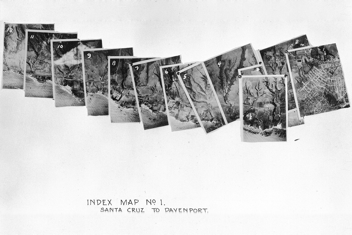
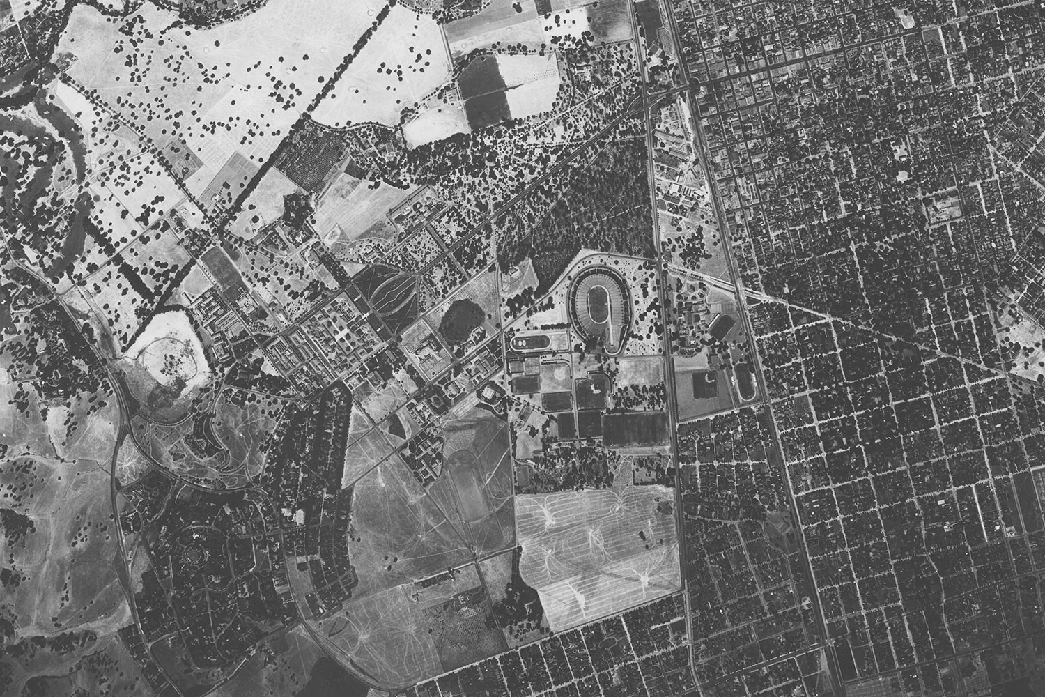
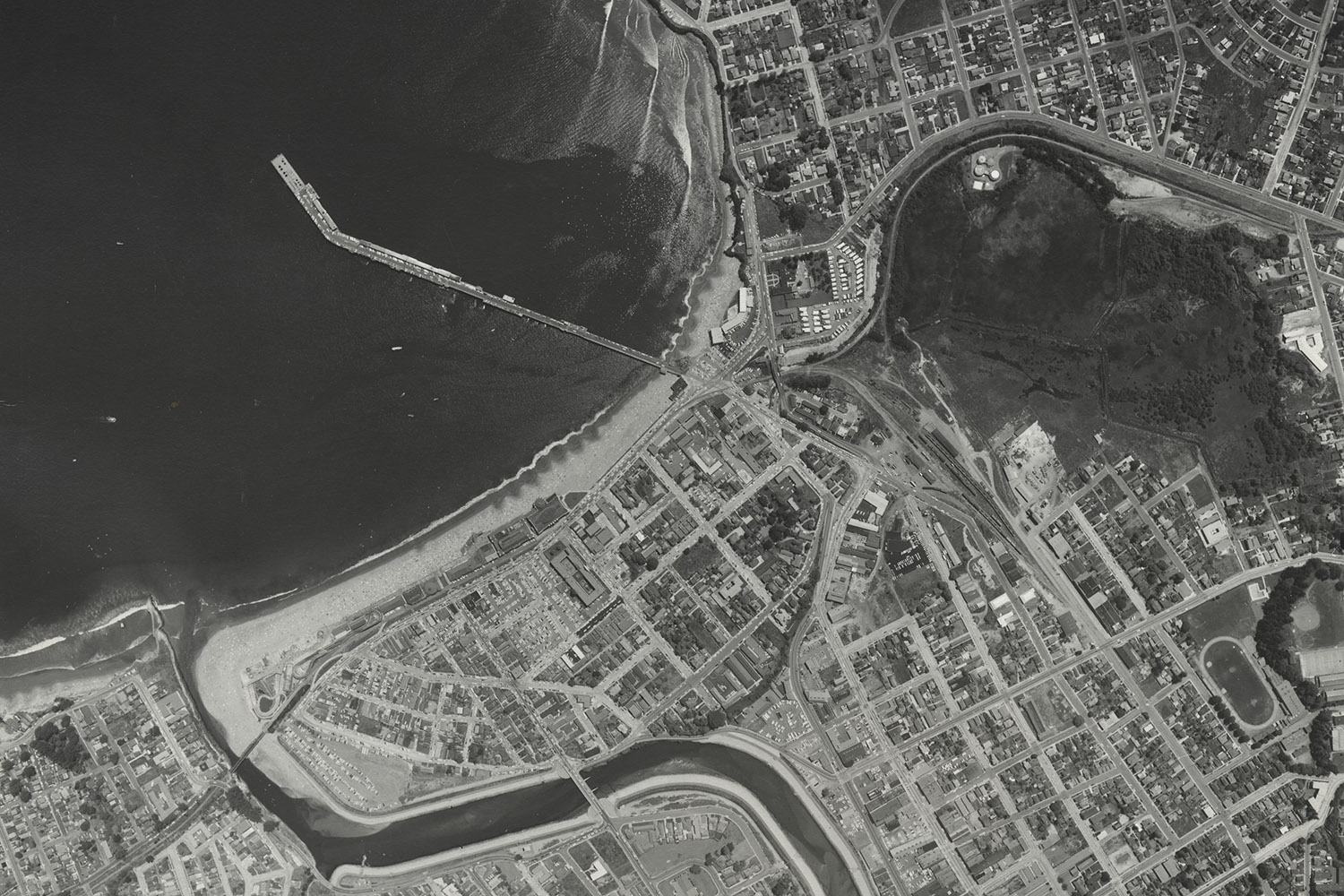
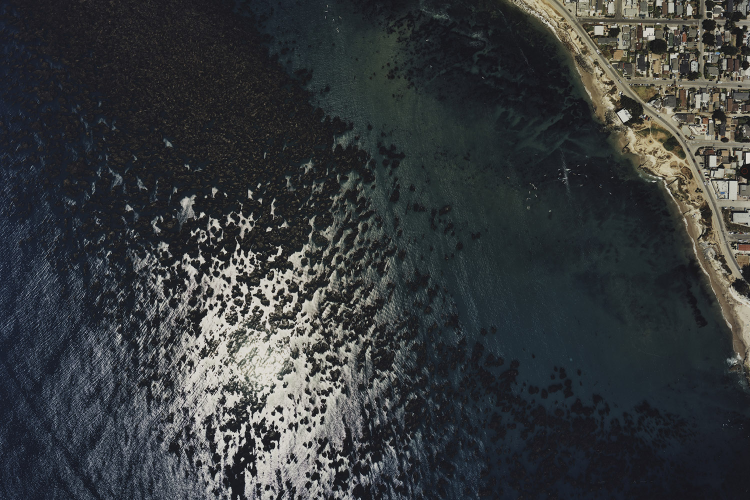
The UC Santa Cruz Aerial Photography Collection covers a five-county area including all of Santa Cruz, San Benito, Santa Clara, Monterey, and parts of San Mateo County. This is a uniquely comprehensive archive of the Central Coast that includes flights from 1928 to 2003. An impressive 60% of the collection is scanned and available for download through the UCSC digital collections dashboard; these scans will remain online through January 2028, when they will be transferred fully to Stanford University Libraries.
Aerial photos bridge the published map with the living landscape and give us a deeper understanding of change over time.Evan ThornberryHead Librarian and Curator, David Rumsey Map Center, Stanford University Libraries
The physical collection consisting of over 40,000 sheets will be managed by Branner Earth Sciences Library & Map Collections, one of the 20 libraries within Stanford University Libraries’ network. The management of the collection by Branner Library staff highlights Stanford University Libraries’ advanced digital infrastructure to make the aerial photographs more discoverable and usable for researchers.
In the coming years, Branner Library staff working closely with multiple teams at Stanford University Libraries – including the Geospatial Center, Research Data Services, and Digital Library Systems and Services – will continue digitization efforts and create interactive indexes and tools for navigating and analyzing this rich historic data archive. The scans will be available via Stanford University Libraries’ two discovery platforms: SearchWorks, its online catalog, and EarthWorks, its discovery tool for geospatial data, where users can search spatially by manipulating a map. Users will be able not merely to view but to actively analyze and manipulate these scanned aerial photographs – along with other digitized maps and geospatial materials – on the interactive discovery platforms.
Collectively, the integration of the 40,000 physical sheets along with the scans completed by UCSC will make this an invaluable addition to the existing modern aerial photography and cartographic collections at Stanford used for teaching, learning, and research, especially in the study of 20th-century urban and rural land use change, Earth science, and marine science.
Evan Thornberry, head librarian and curator of Stanford University Libraries’ David Rumsey Map Center and an avid map enthusiast, welcomes the addition. “Aerial photos bridge the published map with the living landscape and give us a deeper understanding of change over time,” he notes.
The Aerial Photography Collection will be a great resource to support new and ongoing scholarship within the Stanford Doerr School of Sustainability, the Silicon Valley Archives, the Bill Lane Center for the American West, and many other campus centers and institutes. For California residents, a key resource about the Central Coast remains actively stewarded and accessible for research in the years to come.
For research inquiries using the Aerial Photography Collection, please reach out to map librarian Zoe Dilles.
For more information
This story was originally published by Stanford University Libraries.
Writers
Anh Ly
Zoe Dilles