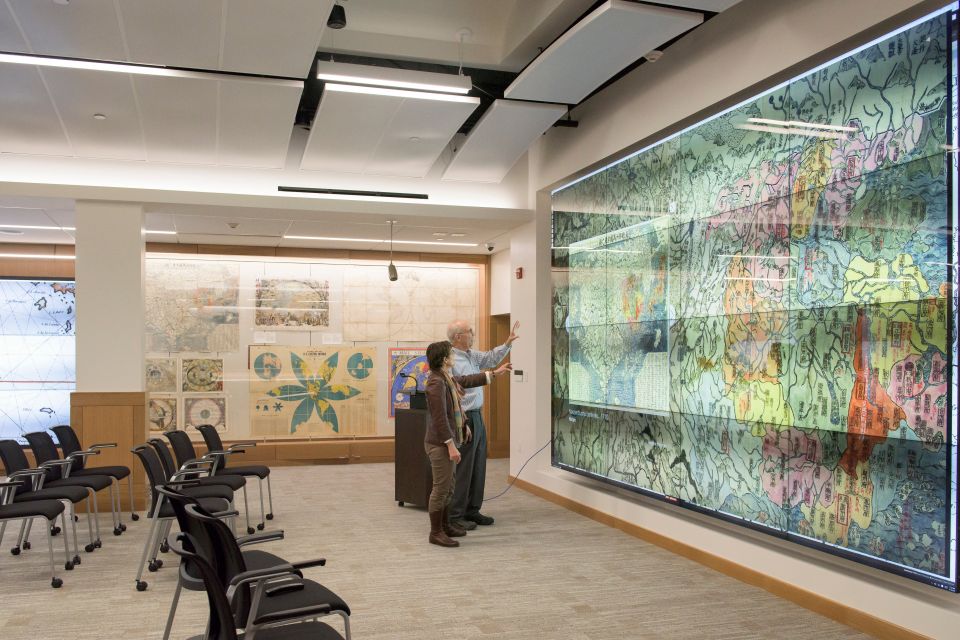
The David Rumsey Map Center is a spacious room with maps at every turn – in slender atlases tucked into bookcases, displayed on the fragile pages of rare books, mounted on walls with magnets, gleaming on two vast video walls – even etched on its front doors.
The map center, located on the fourth floor of Green Library, will celebrate its grand opening with an open house from 6 to 7 p.m. Tuesday, April 19.
The festivities will continue with two days of special presentations and workshops (April 20-21), including talks by library staff, visiting scholars and Stanford faculty, and a daylong open house on April 22. The events are open to the public; registration is required.
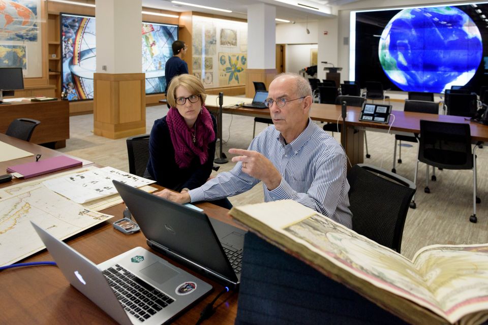
Exhibition designer Becky Fischbach talks with David Rumsey in the David Rumsey Map Center in Green Library. (Image credit: L.A. Cicero)
The celebration features an exhibition, “A Universe of Maps,” in the Peterson Gallery on the library’s second floor, which runs from April 19 through Aug. 31. The exhibition, which extends into the rotunda just outside the gallery and upstairs in the map center, also is available for viewing and downloading.
The David Rumsey Map Center contains more than 150,000 rare maps donated to Stanford in 2009 by David Rumsey, a retired real estate developer in San Francisco who began collecting maps of the Americas more than three decades ago. Rumsey is the president of Cartography Associates, a digital publishing company, and chairman of Luna Imaging, which provides enterprise software for online image collections.
Rumsey’s collection focuses on rare 16th through 21st century maps of North and South America, as well as maps of the world, Asia, Africa, Europe and Oceania. It includes atlases, wall maps, globes, school geographies, pocket maps, books of exploration, maritime charts and a variety of cartographic materials, including children’s and manuscript maps. Rumsey donated his entire collection to Stanford.
“David Rumsey’s maps, combined with Stanford’s existing map collections, have created one of the premier cartographic collections of American history in the United States,” said Julie Sweetkind-Singer, head librarian of the Branner Earth Sciences Library and Map Collections at Stanford.
The new collection includes many well-known treasures, such as the detailed foldout map from the book, History of the expedition under the command of Captains Lewis and Clark, to the sources of the Missouri, then across the Rocky Mountains and down the river Columbia to the Pacific Ocean. The map, rare in surviving copies of the 1814 book, gave Americans a completely new vision of the territory west of the Mississippi, including the sources of the Missouri River and the topography of the immense and snow-covered Rockies.
Another jewel in the collection is a leather-bound book considered to be the first true world atlas, titled Theatrum Orbis Terrarum (Theater of the World), which was created in 1570 by Abraham Ortelius, a renowned Flemish cartographer and geographer.
“An archive of this scope, caliber and renown is a rare windfall for any university’s special collections,” said Kären Wigen, a professor of history at Stanford who teaches Japanese history and the history of cartography.
Cartographic technology specialist Deardra Fuzzell works with David Rumsey before the grand opening of the map center. (Image credit: L.A. Cicero)
The center will also house maps from other Stanford collections, including the Glen McLaughlin Collection, California as an Island; the Antiquarian Map Collection from Special Collections; and the historical maps from the Branner Earth Sciences Library.
The David Rumsey Map Center is the first of its kind on the West Coast, joining other prominent map centers and libraries across the United States.
The center will serve as a meeting point for scholars from the humanities, the sciences, the arts and the professional schools to interact and to incorporate the content, data and illustrations of cartographic materials into their research and teaching.
The interior of the center can be easily configured – with chairs and interlocking tables – to accommodate classes, seminars and special events. The tables can be arranged to support maps large and small. Digitized maps can be viewed on individual computers and on two large video walls – one measuring 16-by-9 feet and another measuring 12-by-7 feet. Researchers will be able to study a paper map side by side with its digital counterpart.
Stanford University Librarian Michael Keller said the center provides new lenses for creation, exploration and discovery to students and scholars.
“Our students and faculty can manipulate the digital maps and atlases in ways the physical form cannot support,” he said. “Furthermore, the data embedded in each paper map and atlas can be extrapolated and run through specialized geographic information system software to develop anything within the limits of their imaginations.”
One of the map center’s video walls is “touch-enabled,” meaning users can explore the nooks and crannies of maps with a touch of a finger. By displaying Plan de Turgot, a 1739 map of Paris, for instance, users can zoom in on Notre-Dame Cathedral, private courtyard gardens, boats stacked with firewood on the Seine – even boatmen plying their oars.
Users can overlay historic maps on modern maps and other historic maps on the video walls, such as this pairing of San Francisco Mission Bay in 1857 and a modern day image of San Francisco. The overlaid maps reveal changes over time – Mission Bay is now completely filled in – and offer new avenues for map analysis and discovery.
Grant Parker, an associate professor of classics at Stanford who teaches What Is a Map? each year to freshmen, said the map center is ideally suited for the seminar’s multi-faceted approach, which builds bridges between traditional histories of cartography – going back to antiquity – and contemporary technologies and critiques.
“It is hard to imagine an institution being so well geared for a joyful exploration of all things cartographic,” Parker said.
Media Contacts
Gabrielle Karampelas, director of communications and development, Stanford University Libraries: gkaram@stanford.edu, (650) 492-9885
Author
Kathleen J. Sullivan