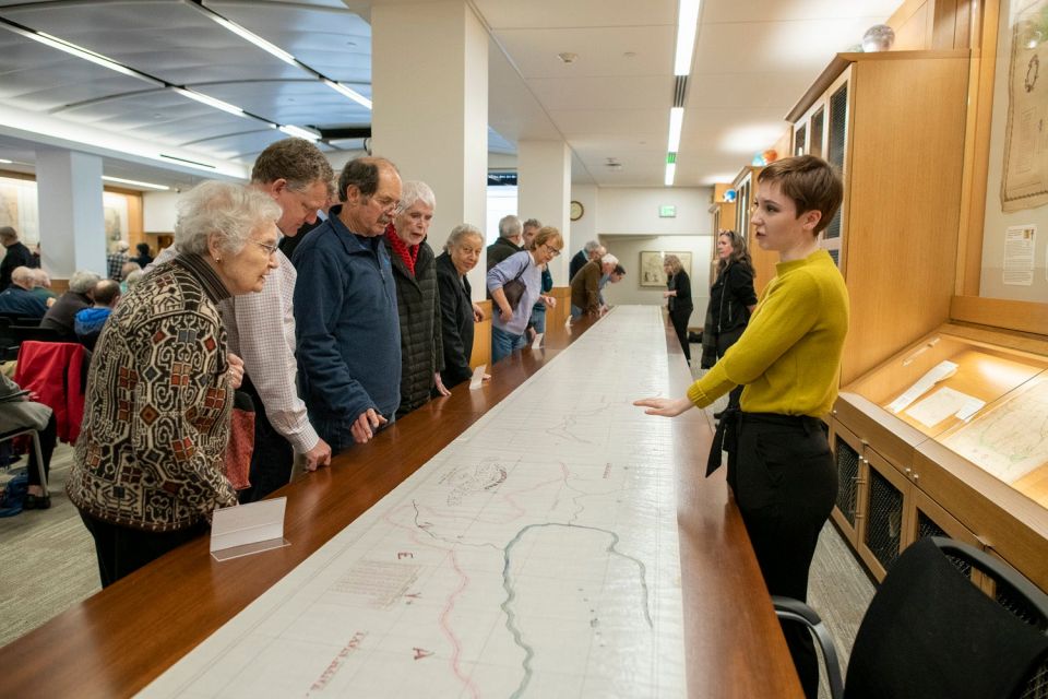
Stanford Libraries has scanned an 1861 map depicting a proposed route for the railroad that eventually connected California with the rest of the country, making the one-of-a-kind map available for online viewing by people around the world.

Anna Crist, right, of the Stanford Libraries digitization staff, answers questions from the many library patrons who came to see the 66-foot map unrolled. (Image credit: L.A. Cicero)
The Central Pacific Railroad Proposed Alignment Map, which is 66 feet long and 2.5 feet wide, comprises four maps on one continuous roll. Each map is titled: Barmore Station to Clipper Gap; Rattlesnake Bluffs to the summit of the Sierra Nevada; from the summit to the Truckee River; and Dutch Flat to Rattlesnake Bluffs.
The map is often referred to simply as “The Judah Map” after its maker, Theodore Judah (1826-1863), a brilliant civil engineer who dreamed of building a transcontinental railroad. Judah was chief engineer of the Central Pacific Railroad, which was owned by university founder Leland Stanford and his partners Collis Huntington, Mark Hopkins and Charles Crocker.
Each of the four maps includes a table of alignments and Judah’s proposed route for the Central Pacific Railroad – the western end of the First Transcontinental Railroad.
It took one day to photograph the map and about a month to “stitch” the pieces together, said G. Salim Mohammed, head and curator of the David Rumsey Map Center, which oversaw the borrowing, display and scanning process, along with colleagues in Digital Library Systems and Services and the Preservation Department.
“People who visit the Rumsey Map Center will be able to examine the digital map in its true size or larger using our 16-by-9-foot presentation screen,” Mohammed said. “They can also use our 12-by-7-foot touch screen to scroll through the entire map, foot by foot.”
The center, which borrowed the map from the California State Archives, put the actual ink-on-linen map on display recently for a “pop-up exhibit” that drew more than 100 visitors. The display was one of many events on campus marking the 150th anniversary on May 10 of the First Transcontinental Railroad.