
Satellite imaging breakthrough by Stanford scientists improves ability to measure plant growth
Researchers have developed an approach for measuring plant growth from space by refining a decades-old technique. The new technology gets around earlier obstacles to accurate observations and could help unlock new perspectives on global change.
Satellite images of Earth’s plant life have been valuable for managing crops or detecting deforestation, but current methods are often contaminated by light reflected by other things like clouds, soil and snow. Now, researchers at Stanford and the Carnegie Institution for Science have unlocked the potential of decades-old satellites with a technological tweak to better isolate the signal from plants alone.
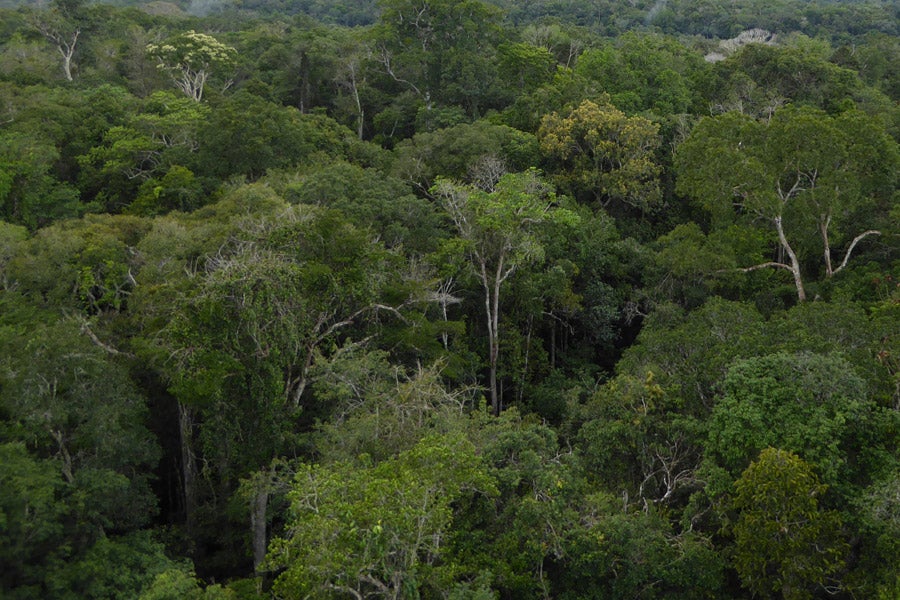
A view from above the treetops of the Amazon can reveal variations in brightness that contain information about plant growth. (Image credit: Ari Kornfeld)
The new approach avoids previous shortcomings and provides a relatively affordable way to collect data, as it doesn’t require launching new satellites with expanded capabilities. The results, published in Science Advances, have implications for our understanding of agriculture, biodiversity and global change writ large.
Satellites have collected agricultural data since 1972, using the sunlight reflected off plants. A 2011 breakthrough allowed researchers to detect fluorescence – light emitted by the plants themselves. The new approach developed at Stanford builds off the fluorescence approach by measuring only the fraction of light reflected by plants, screening out “background noise.”
“The causal chain from the plants to the photons to the images is clear,” said co-author Chris Field, the Melvin and Joan Lane Professor for Interdisciplinary Environmental Studies. “This new index is clearly powerful, but also simple and elegant.”
The new approach makes better use of existing data, according to lead author Grayson Badgley, a graduate student in Stanford’s School of Earth, Energy & Environmental Sciences. “With the satellites we’ve had since 1978, you can more directly infer how healthy plants are and how well they’re growing,” Badgley said. That, in turn, could help make more accurate and timely measurements of crop yields, plant health, drought, forest clearing and a range of other issues.
Study coauthor Joe Berry is acting director of the Carnegie Institution for Science’s Department of Global Ecology. Chris Field is the Perry L. McCarty Director of the Stanford Woods Institute for the Environment; professor of Biology and Earth System Science; and senior fellow at the Precourt Institute for Energy.
Research funding was provided by the NASA Earth and Space Science Fellowship.