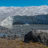
Earth’s climate entered a long phase of cooling 15 million years ago, resulting in an ice age. A team of researchers has now found new indications as to what initiated this cooling and kept it going.
Stanford School of Earth, Energy & Environmental Sciences —
New research shows that atmospheric rivers – plumes of moisture that deliver much of the west’s precipitation – have gotten warmer over the past 36 years.
Stanford School of Earth, Energy & Environmental Sciences —
Researchers use computer modeling to better understand the chemical reactions in Earth’s subsurface that affect water supplies, energy waste storage, climate change and more.
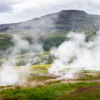
A geothermal energy project triggered a damaging earthquake in 2017 in South Korea. A new analysis suggests flaws in some of the most common ways of trying to minimize the risk of such quakes when harnessing Earth’s heat for energy.
Measurements of suspended sediment concentrations reveal a lot about the health of a waterway, but information has been difficult to obtain. A new approach uses a drone to take high-resolution photos to reveal turbidity.
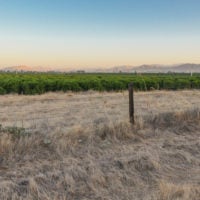
Overpumping in California’s Central Valley has depleted groundwater storage capacity and caused the land to sink. A new model could help zero in on where water managers can replenish aquifers by flooding fields.
Scientists are training machine learning algorithms to help shed light on earthquake hazards, volcanic eruptions, groundwater flow and longstanding mysteries about what goes on beneath the Earth’s surface.
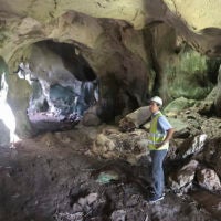
Postdoc Daniel Ibarra recently traveled to the Philippines to collect cave deposits that are considered key to understanding changes in climate during ancient times.
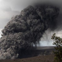
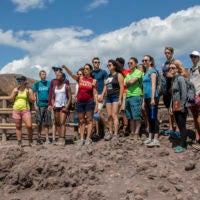
Geophysical processes have shaped Pozzuoli, Italy, like few other places in the world. Stanford students applied modern tools to understand those links and what it means to live with natural hazards as both threat and inspiration.
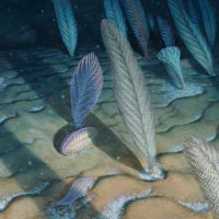
Why did the first big, complex organisms spring to life in deep, dark oceans where food was scarce? A new study finds great depths provided a stable, life-sustaining refuge from wild temperature swings in the shallows.