|
May 19, 2011
Stanford University's new Matadero Trail opens to public Friday
A new Stanford University hiking trail – the Matadero Trail – that connects Page Mill Road and Foothill Expressway to Arastradero Road, is ready to open, offering expansive views of San Francisco Bay. By Kate Chesley
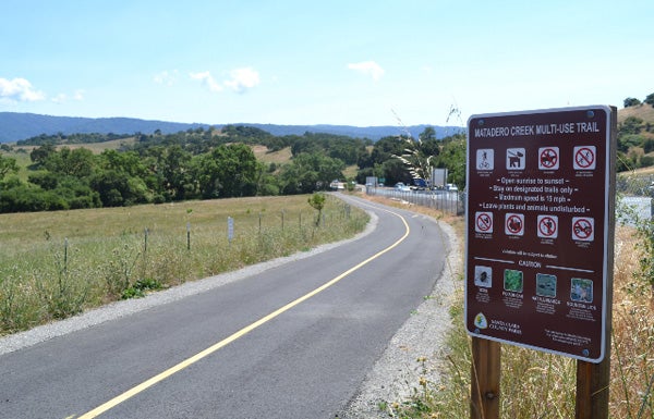
The Matadero Trail runs on Stanford land from the southeast corner of Page Mill Road and Foothill Expressway and alongside Page Mill to Deer Creek Road. (Kate Chesley / Stanford News Service) Stanford University will open a new public hiking trail on Friday, May 20, that connects Page Mill Road and Foothill Expressway to Arastradero Road and offers broad views of San Francisco Bay. The trail will be open every day from sunup to sundown.
"This is a happy day," said Larry Horton, senior associate vice president for public affairs at Stanford. "This trail was a long time coming. It is beautiful, and we are pleased that the public can now enjoy it."
The new trail, called the Matadero Trail, is the "S1" route in the Santa Clara Countywide Trails Master Plan. The new trail runs on Stanford University land from the southeast corner of Page Mill Road and Foothill Expressway and alongside Page Mill to Deer Creek Road. There, it crests over a ridge and winds down to where Arastradero Road crosses under Interstate 280. The path over the ridge is designed for pedestrians. Separate lanes planned for bicyclists will continue along Deer Creek Road. At the high point of the trail, hikers will have views of the San Francisco skyline, Bay-area bridges, Mt. Diablo and Mt. Hamilton.
"I'm pleased that Stanford can make this contribution to regional recreation," said Stanford Director of Land Use and Environmental Planning Charles Carter, who oversaw the trail's development. Carter praised the county Parks and Recreation Department for its collaboration in designing and building the trail.
"This isn't a nature trail per se, but it crosses a variety of landscapes where one can see native oak trees, riparian communities, grasslands and wildflowers, birds and other wildlife," Carter said. "I hope people enjoy it and recognize how Stanford's stewardship of its land resources yields public benefits."
Hikers should plan to walk or bicycle to the trail since the area offers no public parking. The trail, although maintained by Stanford, will come under the auspices of Santa Clara County. Stanford has granted a land-use easement to the county.
"I walked the lower part of the trail two weeks ago myself and enjoyed it a lot. It's a great addition to our recreational opportunities," said Santa Clara County Supervisor Liz Kniss.
Building the trail was one of more than 100 conditions contained in the 2000 General Use Permit (GUP), which is Stanford's long-term land-use agreement with Santa Clara County. The GUP governs land use on more than 4,000 acres of Stanford land within Santa Clara County.
-30-
|


